 |
This is a file from the Wikimedia Commons. Information from its description page there is shown below.
Commons is a freely licensed media file repository. You can help.
|
 |
This SVG image contains embedded raster graphics. Such images are liable to produce inferior results when scaled to different sizes. If appropriate to do so, they should be replaced with images created using vector graphics. |
|
|
| DescriptionSouthampton Map.svg |
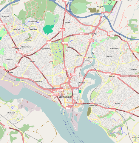
This map of Southampton was created from OpenStreetMap project data, collected by the community. This map may be incomplete, and may contain errors. Don't rely solely on it for navigation.
|
| Date |
(see file history) |
| Source |
openstreetmap.org |
| Author |
OpenStreetMap contributors |
Permission
( Reusing this file) |
OpenStreetMap data and maps are licensed under the Creative Commons Attribution-ShareAlike 2.0 license (CC-BY-SA 2.0).
|
This file contains additional information, probably added from the digital camera or scanner used to create or digitize it. If the file has been modified from its original state, some details may not fully reflect the modified file.
SOS Children's Villages chose the best bits of Wikipedia to help you learn. SOS Children is famous for the love and shelter it brings to lone children, but we also support families in the areas around our Children's Villages, helping those who need us the most. You can help by sponsoring a child.


