 |
This is a file from the Wikimedia Commons. Information from its description page there is shown below.
Commons is a freely licensed media file repository. You can help.
|
Summary
|
Camera location
|
27° 45′ 0.00″ N, 83° 49′ 30.00″ W
|
This and other images at their locations on: Google Maps - Google Earth - OpenStreetMap |
( Info)27.75;-83.825 |
| Description |
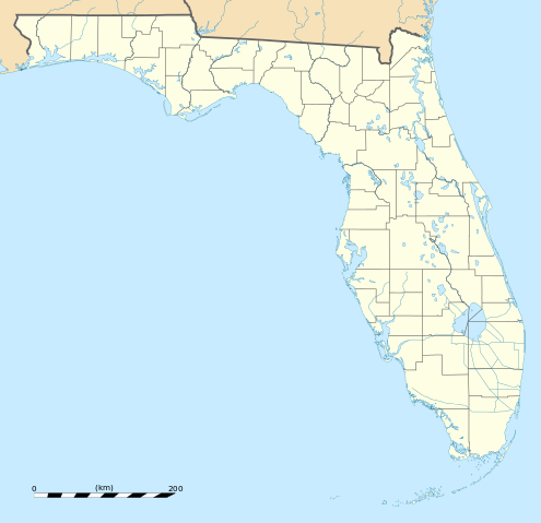
English: Blank administrative map of the State of Florida, USA, for geo-location purpose, with counties boundaries.
Français : Carte administrative vierge de l'état de Floride, États-Unis, destinée à la géolocalisation, avec limite des comtés.
Equirectangular projection, WGS84 datum
- Standard meridian: 083° 49' 30" W
- Central parallel: 27° 45' N
Scale: 1:2,000,000
Geographic limits of the map:
- West: 087° 51' W
- East: 079° 48' W
- North: 31° 12' N
- South: 24° 18' N
|
| Date |
December 2008 |
| Source |
Own work
Public domain data provided by the National Atlas of the United States of America |
| Author |
Eric Gaba ( Sting - fr:Sting) |
This map was improved or created by the Wikigraphists of the Graphic Lab (fr). You can propose images to clean up, improve, create or translate as well.
বাংলা | català | česky | Deutsch | Deutsch (Sie-Form) | Ελληνικά | English | Esperanto | español | suomi | français | עברית | magyar | Հայերեն | italiano | 한국어 | македонски | Bahasa Melayu | Plattdüütsch | Nederlands | occitan | polski | português | română | русский | slovenščina | svenska | татарча/tatarça | Türkçe | українська | 中文 | 中文(简体) | 中文(繁體) | Zazaki | +/−
Licensing
| Attribution required |
| Any use of this map can be made as long as you credit me (Eric Gaba – Wikimedia Commons user: Sting) as the author. A message with a reply address would also be greatly appreciated. |
I, the copyright holder of this work, hereby publish it under the following license:

 |
This file is licensed under the Creative Commons Attribution 3.0 Unported license. |
|
|
|
- You are free:
- to share – to copy, distribute and transmit the work
- to remix – to adapt the work
- Under the following conditions:
- attribution – You must attribute the work in the manner specified by the author or licensor (but not in any way that suggests that they endorse you or your use of the work).
http://creativecommons.org/licenses/by/3.0 CC-BY-3.0 Creative Commons Attribution 3.0 truetrue
|
|
File usage
The following pages on Schools Wikipedia link to this image (list may be incomplete):
This file contains additional information, probably added from the digital camera or scanner used to create or digitize it. If the file has been modified from its original state, some details may not fully reflect the modified file.
Wikipedia for Schools was collected by SOS Children's Villages. SOS Children is an international children's charity, providing a good home and loving family to thousands of children who have lost their parents. We also work with communities to help vulnerable families stay together and raise children in the best possible environment. We have helped children in Africa for many years - you can help too...


