
File:Wales in the UK and Europe.svg
Size of this preview: 627 × 479 pixels.
| |
This is a file from the Wikimedia Commons. Information from its description page there is shown below.
Commons is a freely licensed media file repository. You can help. |
Summary
| Description |
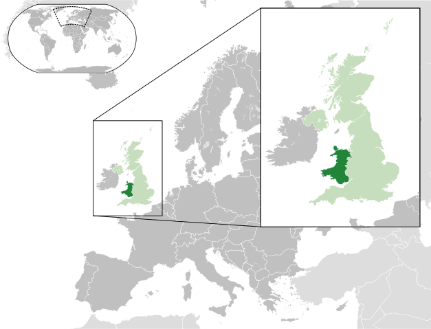
English: A map of Wales within the United Kingdom and Europe. The map is a polar orthographic projection.
Wales
United Kingdom (except Wales)
Europe (except UK)
Français : Une carte du Pays de Galles au sein du Royaume-Uni et en Europe. La carte est un polair projection orthographique.
Pays de Galles
Royaume-Unie (sauf le Pays de Galles)
Europe (sauf le Royaume-Unie)
Deutsch: Eine Karte der Wales drinnen das Vereinigtes Königreich und drinnen Europa. Die Karte ist ein polare orthografische Azimutalprojektion.
Wales
Vereinigtes Königreich (außer Wales)
Europa (außer das Vereinigtes Königreich)
Cymraeg:
Cymru
Y Deyrnas Unedig
Ewrop
Gàidhlig:
A' Chuimrigh
An Rìoghachd Aonaichte
An Roinn-Eòrpa
Gaeilge:
An Bhreatain Bheag
An Ríocht Aontaithe
An Eoraip
Kernowek:
Kembra
Ruwvaneth Unys
Europa
|
| Date | 2012-02-25 22:33 (UTC) |
| Source | This file was derived from: |
| Author |
|
Licensing
| This file is licensed under the Creative Commons Attribution-Share Alike 3.0 Unported license. | ||
|
File usage
The following pages on Schools Wikipedia link to this image (list may be incomplete):
Metadata
Background information
Wikipedia for Schools was collected by SOS Children's Villages. SOS Childrens Villages helps more than 2 million people across 133 countries around the world. Would you like to sponsor a child?