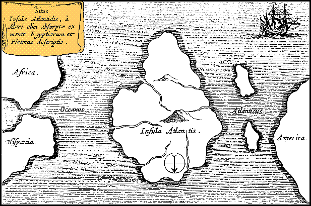
File:Athanasius Kircher's Atlantis.gif
Athanasius_Kircher's_Atlantis.gif (617 × 410 pixels, file size: 36 KB, MIME type: image/gif)
File usage
The following pages on Schools Wikipedia link to this image (list may be incomplete):
About Schools Wikipedia
Wikipedia for Schools was collected by SOS Childrens Villages. SOS Childrens Villages believes education is an important part of a child's life. That's why we ensure they receive nursery care as well as high-quality primary and secondary education. When they leave school, we support the children in our care as they progress to vocational training or higher education. There are many ways to help with SOS Children's Villages.


