
File:Sudan location map.svg
Size of this preview: 547 × 480 pixels.
| |
This is a file from the Wikimedia Commons. Information from its description page there is shown below.
Commons is a freely licensed media file repository. You can help. |
Summary
| Description |
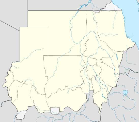
Deutsch: Positionskarte von Sudan
Quadratische Plattkarte, N-S-Streckung 103 %. Geographische Begrenzung der Karte:
English: Location map of Sudan
Equirectangular projection, N/S stretching 103 %. Geographic limits of the map:
|
||||||
| Date | 16 September 2009 | ||||||
| Source | Own work, using
|
||||||
| Author | NordNordWest | ||||||
| Permission ( Reusing this file) |
|
This map has been made or improved in the German Kartenwerkstatt (Map Lab). You can propose maps to improve as well.
File usage
The following pages on Schools Wikipedia link to this image (list may be incomplete):
Metadata
Schools Wikipedia facts
Wikipedia for Schools is one of SOS Children's many educational projects. By supporting vulnerable children right through to adulthood, SOS Childrens Villages makes a lasting difference to the lives of thousands of people. Education is a key part of our work, and our schools provide high-quality teaching to the children in our care. You can help by sponsoring a child.