
File:Montrealmetromap.svg
Size of this preview: 374 × 480 pixels.
| |
This is a file from the Wikimedia Commons. Information from its description page there is shown below.
Commons is a freely licensed media file repository. You can help. |
| Description |
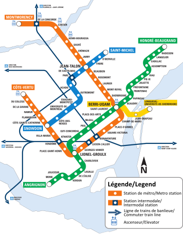
English: A map of the Montreal metro system.
Français : Carte du réseau du métro de Montréal
|
| Date | |
| Source | Created from http://www.stm.info/bus/Planibus/747.pdf |
| Author | STM/ Noname224 |
 |
This image only consists of simple geometric shapes and/or text. It does not meet the threshold of originality needed for copyright protection, and is therefore in the public domain. Although it is free of copyright restrictions, this image may still be subject to other restrictions. See WP:PD#Fonts or Template talk:PD-textlogo for more information. |
Non-simple shapes in the image (such as the island of Montreal) cannot be copyrighted as they are geographic formations.
File usage
The following pages on Schools Wikipedia link to this image (list may be incomplete):
Metadata
Want to know more?
Wikipedia for Schools was collected by SOS Childrens Villages. In 133 nations around the world, SOS Children's Villages works to bring better education and healthcare to families in desperate need of support. There are many ways to help with SOS Childrens Villages.