
File:Ferry at Whale Geo pier, Westray - geograph.org.uk - 33804.jpg
Ferry_at_Whale_Geo_pier,_Westray_-_geograph.org.uk_-_33804.jpg (640 × 480 pixels, file size: 50 KB, MIME type: image/jpeg)
| |
This is a file from the Wikimedia Commons. Information from its description page there is shown below.
Commons is a freely licensed media file repository. You can help. |
Summary
| Description |
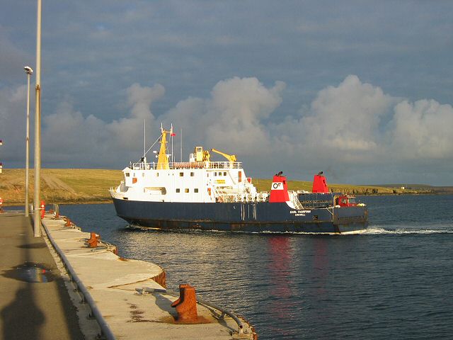
English: Ferry at Whale Geo pier, Westray. This is the Earl Thorfinn, docking before returning to Kirkwall.
|
| Date | 20 September 2003 |
| Source | From geograph.org.uk |
| Author | Rob Burke |
|
Camera location |
|
This and other images at their locations on: Google Maps - Google Earth - OpenStreetMap | ( Info) |
|---|
Licensing
 |
This image was taken from the Geograph project collection. See this photograph's page on the Geograph website for the photographer's contact details. The copyright on this image is owned by Rob Burke and is licensed for reuse under the Creative Commons Attribution-ShareAlike 2.0 license. |
| This file is licensed under the Creative Commons Attribution-Share Alike 2.0 Generic license. | ||
| Attribution: Rob Burke | ||
|
File usage
The following pages on Schools Wikipedia link to this image (list may be incomplete):
Want to know more?
Wikipedia for Schools brings Wikipedia into the classroom. More than 2 million people benefit from the global charity work of SOS Childrens Villages, and our work in 133 countries around the world is vital to ensuring a better future for vulnerable children. Have you heard about child sponsorship? Visit our web site to find out.