
File:Karachi Transport Network.png
Size of this preview: 637 × 479 pixels.
| |
This is a file from the Wikimedia Commons. Information from its description page there is shown below.
Commons is a freely licensed media file repository. You can help. |
Summary
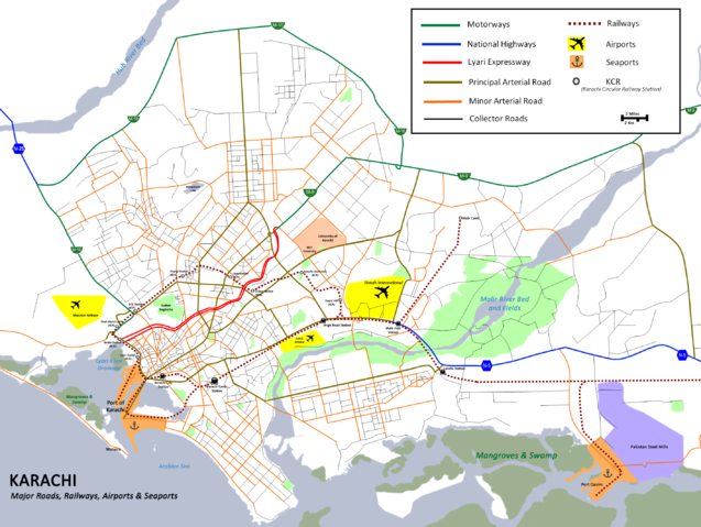
| Description | Map showing major roads, railway lines, ports and airports of the city of Karachi, Pakistan. |
| Date | |
| Source | Own work |
| Author | Nomi887 |
Licensing
|

File usage
The following pages on Schools Wikipedia link to this image (list may be incomplete):
Metadata
Schools Wikipedia and SOS Children
Schools Wikipedia was launched to make learning available to everyone. SOS Childrens Villages cares for children who have lost their parents. Our Children's Villages give these children a new home and a new family, while a high-quality education and the best of medical care ensures they will grow up with all they need to succeed in adult life. We have helped children in Africa for many years - you can help too...