 |
This is a file from the Wikimedia Commons. Information from its description page there is shown below.
Commons is a freely licensed media file repository. You can help.
|
| Description |
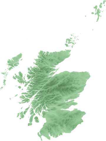
Topo map of Scotland for use in Scottish infoboxes - equidistant cylindrical projection as naturaly outputted from SRTM data, stretched 150% vertically as deduced by w:User:Anameofmyveryown for easier viewing. |
| Date |
21 September 2007 |
| Source |
SRTM data from NASA, PD |
| Author |
SFC9394 |
Licensing
 |
Permission is granted to copy, distribute and/or modify this document under the terms of the GNU Free Documentation License, Version 1.2 or any later version published by the Free Software Foundation; with no Invariant Sections, no Front-Cover Texts, and no Back-Cover Texts. A copy of the license is included in the section entitled GNU Free Documentation License. http://www.gnu.org/copyleft/fdl.htmlGFDLGNU Free Documentation Licensetruetrue
|
File usage
The following pages on Schools Wikipedia link to this image (list may be incomplete):
Wikipedia for Schools was collected by SOS Children. SOS Childrens Villages helps more than 2 million people across 133 countries around the world. Help another child by taking out a sponsorship.


