
File:BlankMap-World.png
| |
This is a file from the Wikimedia Commons. Information from its description page there is shown below.
Commons is a freely licensed media file repository. You can help. |
 |
File:BlankMap-World6.svg is a vector version of this file. It should be used in place of this raster image when superior. File:BlankMap-World.png
For more information about vector graphics, read about Commons transition to SVG.
|
 |
| Description |
English:
Land
Boundaries of states with limited recognition from their parent country
Disputed boundaries
Water and non-disputed, recognized political boundaries
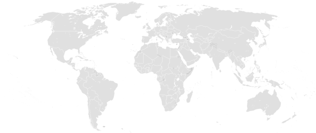
A blank map of the world as of 2011, with country outlines, for making country locator maps. This map uses the Robinson projection, compressed at latitude direction by factor 0.95623, centered on the meridian circa 11°15' to east from Greenwich Prime Meridian and includes various microstates and island nations. All territories indicated in the UN listing of territories and regions are exhibited. Base map: File:World map pol 2005 v02.svg from the CIA World Factbook (2005).
|
||||||||||
| Date | Uploaded on the 8th December of 2004. | ||||||||||
| Source | original by Vardion; updated by various users since December 2004. | ||||||||||
| Author | The map was made by User:Vardion and adapted by User:E Pluribus Anthony for Wikipedia. | ||||||||||
Licensing
 |
This work has been released into the public domain by its author, Vardion. This applies worldwide. In some countries this may not be legally possible; if so: Vardion grants anyone the right to use this work for any purpose, without any conditions, unless such conditions are required by law.
|
File usage
Metadata
Learn more
All five editions of Schools Wikipedia were compiled by SOS Childrens Villages. In 133 nations around the world, SOS Childrens Villages works to bring better education and healthcare to families in desperate need of support. Why not try to find out more about sponsoring a child?