 |
This is a file from the Wikimedia Commons. Information from its description page there is shown below.
Commons is a freely licensed media file repository. You can help.
|
| Description |
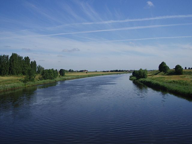
The River Great Ouse relief channel, a "6½ mile navigable channel from a lock at Denver Sluice to Wiggenhall Bridge just over two miles south of King's Lynn." ( more information). This photo was taken from the disused railway bridge near Wiggenhall St. Mary Magdalen (Norfolk) which crosses it. |
| Date |
some time last month |
| Source |
Own work |
| Author |
Lewis Collard |
|
Camera location
|
52° 40′ 2.50″ N, 0° 21′ 52.40″ E
|
This and other images at their locations on: Google Maps - Google Earth - OpenStreetMap |
( Info)52.667361111111;0.36455555555556 |
 |
The copyright holder of this file, Lewis Collard, allows anyone to use it for any purpose, provided that the copyright holder is properly attributed. Redistribution, derivative work, commercial use, and all other use is permitted. |
| Attribution: Lewis Collard Attribution
|
File usage
The following pages on Schools Wikipedia link to this image (list may be incomplete):
Through Schools Wikipedia, SOS Children's Villages has brought learning to children around the world. SOS Children's Villages is a global charity founded in 1949 to give children who have lost everything the childhood they deserve. Sponsoring a child is the coolest way to help.


