File:Turkey-pozKarta.png

Size of this preview: 640 × 256 pixels.
| |
This is a file from the Wikimedia Commons. Information from its description page there is shown below.
Commons is a freely licensed media file repository. You can help. |
Summary
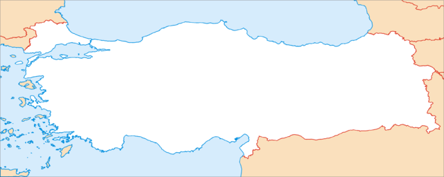
Карта Турции в нужной проекции для Шаблон:ПозКарта, обрезанная ровно по линиям градусов (25° - 45° в.д., 43° - 35° с.ш.).
Map of Turkey, in the equirectangular projection (equidistant cylindrical projection, or plate carrée). Cropped by 1 degree lines (25° - 45° E, 43° - 35° N).
| Description |
Қазақша: Location map Turkey.
മലയാളം: Location map Turkey.
Nederlands: Pergamum of Pergamon.
Srpskohrvatski / српскохрватски: Location map Turkey.
|
| Date | April 2007 |
| Source | Own work |
| Author | Koryakov Yuri |
Licensing
|
File usage
The following pages on Schools Wikipedia link to this image (list may be incomplete):
About Schools Wikipedia
Wikipedia for Schools is designed to make learning fun and easy. Thanks to SOS Children, 62,000 children are enjoying a happy childhood, with a healthy, prosperous future ahead of them. Will you help another child today?

