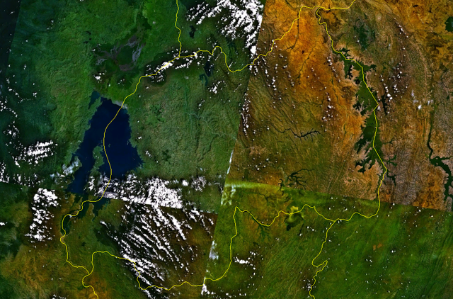
File:Rwanda satellite map.png

Size of this preview: 640 × 422 pixels.
File usage
The following pages on Schools Wikipedia link to this image (list may be incomplete):
Find out more
Schools Wikipedia was created by children's charity SOS Children. SOS Children is there for the children in our care until they are ready for independence. Have you thought about sponsoring a child?

