
File:Oman location map.svg
Size of this preview: 368 × 479 pixels.
| |
This is a file from the Wikimedia Commons. Information from its description page there is shown below.
Commons is a freely licensed media file repository. You can help. |
Summary
| Description |
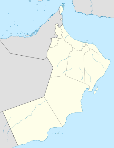
Deutsch: Positionskarte von Oman
Quadratische Plattkarte, N-S-Streckung 107 %. Geographische Begrenzung der Karte:
English: Location map of Oman
Equirectangular projection, N/S stretching 107 %. Geographic limits of the map:
|
| Date | 6 July 2009 |
| Source | Own work, using
|
| Author | NordNordWest |
This map has been made or improved in the German Kartenwerkstatt (Map Lab). You can propose maps to improve as well.
Licensing
|
File usage
The following pages on Schools Wikipedia link to this image (list may be incomplete):
Metadata
Learn more about Schools Wikipedia
SOS Childrens Villages aims to make Wikipedia suitable for young learners. The world's largest orphan charity, SOS Children's Villages brings a better life to more than 2 million people in 133 countries around the globe. Sponsoring a child is the coolest way to help.