
File:MoroccoWesternSaharaOMC.png
Size of this preview: 425 × 479 pixels.
| |
This is a file from the Wikimedia Commons. Information from its description page there is shown below.
Commons is a freely licensed media file repository. You can help. |
| Description |
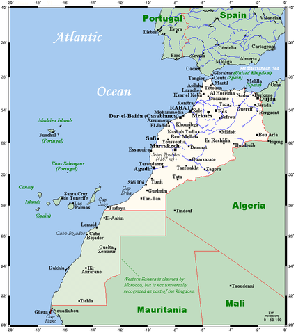
English: A map showing Morocco's and Western Sahara's cities and main towns.
|
|||||||||
| Date | 14 August 2007 (original upload date) | |||||||||
| Source |
English: This map's source is here, with the uploader's modifications, and the GMT homepage says that the tools are released under the GNU General Public License.
|
|||||||||
| Author | Original uploader was Kelisi at en.wikipedia | |||||||||
| Permission ( Reusing this file) |
|

File usage
The following pages on Schools Wikipedia link to this image (list may be incomplete):
More information
Wikipedia for Schools is one of SOS Children's many educational projects. SOS Children works in 133 countries and territories across the globe, helps more than 62,000 children, and reaches over 2 million people in total. You can help by sponsoring a child.